Sydney (or Eastern) flannel flowers (Actinotus helianthi) along the track through Bangalley Head. It is a member of the carrot family!
Showing posts with label Bushland. Show all posts
Sunday, 27 January 2013
Saturday, 26 January 2013
Sally and Ann's Excellent Adventure 17: Bangalley Head
Above: The view north from Bangalley Head. The climb is pretty strenuous, but well worth it for the spectacular views from the highest point on the northern Sydney coast. Barrenjoey Head is clearly visible, as is Palm Beach. The headland in the middle distance is Little Head. The one with the house on top is Careel Head.
Below: The view south towards Avalon. The next headland is Avalon, the beach is Avalon, and then the next headland is Bilgola Head.
This great diagram from the website of Reef Care shows the geological compsition of the various headands of the northern beaches.
Wednesday, 10 December 2008
Aborigines of Sydney (Sydney Sandstone Part 3)
The sandstone overhangs of the Sydney coast and bush provided great shelter for the original inhabitants, the Aboriginal people. There are also a fair few sites where rock carvings are still evident (I don't have any pics at the moment).
Above: Kurnell on Botany Bay.
Below: Nannygoat Hill, Bardwell Valley. This wonderful piece of remnant bushland is only a few kilometres from the centre of Sydney and right near where I live. Walk up Nannygoat Hill here, and here.

About the Aboriginal people of the Sydney region
The original inhabitants of the area shown in Photo 2 were (perhaps) the Gweagal clan of the Dharug Nation. There does seem to be some confusion about this. One source , the National Trust, says that the Gweagal people lived on the southern side of the Cooks River as far as the Georges River, from the shores of Botany Bay inland towards Liverpool. Other sources such as the map linked below, place the Gweagal people on the south side of the Georges River, and the group around Nannygoat Hill is named as the Gameygal.
Anyway, the river provided fish, oysters, crustaceans, waterfowl and the valleys birds, eggs, possums, snakes, wallabies, goannas, wild honey, berries and nuts - in short, an abundant food supply.
Valleys of Wolli Creek and Bardwell Creek contain evidence of Aboriginal presence in smoke-blackened caves. (I took this photo on Nannygoat Hill *, a rocky outcrop amongst a stand of bushland along Wolli Creek). However, it appears that these may have acted as temporary shelters only for hunting parties, as the people lived more permanently along the abundant shores of Botany Bay. Middens have been found along the Bay, and the river, and were one source of lime in the days when lime was burned in order to provide the substance for the bricks and mortar for Sydney buildings.
The northern part of Arncliffe (now a high-rise housing subdivision called Wolli Creek) and some parkland is bordered by the Cook's River, named after - well, yes - Captain James Cook.
You can meet a Gweagal man, Rod Mason, an Aboriginal Discovery Ranger at Botany Bay National Park, at this website of the National Parks and Wildlife Service.
This map of the clans of the Sydney area, definitely places the Gweagal people at Kurnell.
Sunday, 30 March 2008
Well done Mosman Bushcare
Tuesday, 30 October 2007
Bardwell Valley Morning
This morning I went to the gym for my usual swim, and no-one showed up to open up. So, I headed back home and went for a walk around the local area. Here's a view taken in the early morning light (6.45am daylight saving, so really 5.45am), looking over the olive grove planted by Council in honour of residents of Greek origin, and to the golf course and creek valley beyond. Pity about the real estate advertising brochure sheltering under the sandstone outcrop, but I guess it shows we are smack bang in the city, not some pristine wilderness! The trees in the foeground just behind the rocks are left: a Casuarina ('she-oak'), right: a Banksia serrata, both native to the area. 
I've posted about the olive grove before - click here to see how the trees have grown.
Sunday, 15 April 2007
Wolli Creek

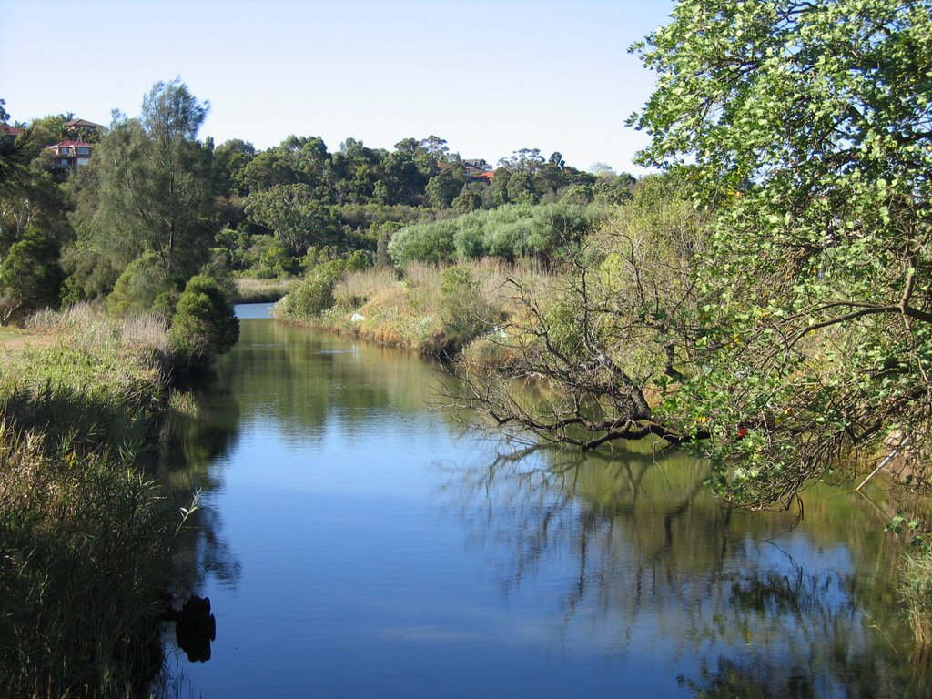
Not all of city life is hustle and bustle. This is Wolli Creek, near my home. It is about 6 kms from the centre of the city. It runs through one of the last stands of bushland so close to the city. Community activists over the years have had to fight to preserve the area, and the battles continue. It's been pretty polluted, but in recent years has been recovering.
Wolli Creek Preservation Society. The website allows you to take a virtual walk through the area (see on right hand side of their site)
Saturday, 27 January 2007
Subscribe to:
Posts (Atom)